
Routes & Maps - Ten Tors Challenge 2026
The Ten Tors Challenge Staffed Locations
The maps below have the TT26 Controls and are for general awareness; however, the definitive locations are at the link above.
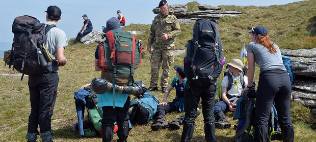
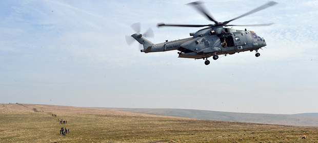
An outline map of the northern part of Dartmoor, covering an area 18 by 18 kilometres, showing the locations staffed during the Ten Tors Challenge is available at the above link. The Safety Controls (SC) are positioned close to roads to assist the evacuation of those unable to complete the Challenge. The Basic Control (BC) Points, on prominent features, mostly Tors but with some on Beacons and Hills, allow the routes allocated to be spread and create increasingly more difficult expeditions for the older age groups.
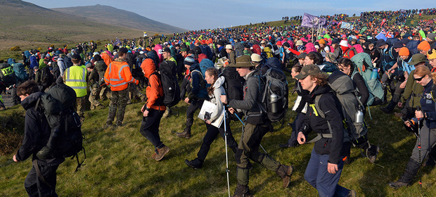
The 400 Teams are each assigned a route which requires them to visit at least 10 specified SCs and BCs in the order given. Teams will be allocated to 26 routes, each with its own unique problems and combination of Tors. During the Ten Tors Challenge these locations across the moor are staffed by the Moor Support Group (MSG), provided by the Army, with support from Royal Navy and Royal Air Force volunteers.
The Ten Tors Challenge Routes
The overlap between the routes listed is to allow the teams to be spread evenly. The routes to be allocated will be announced a couple of weeks before the Challenge.